At the beginning of the 16th century, California existed only as a fictional land, born from the imagination of a passionate writer. That was about to change. When the first Spanish explorers crossed what we now call the Sea of Cortez, they encountered a territory they believed to be an island. Faced with this unfamiliar frontier, some speculated they had reached the legendary California.
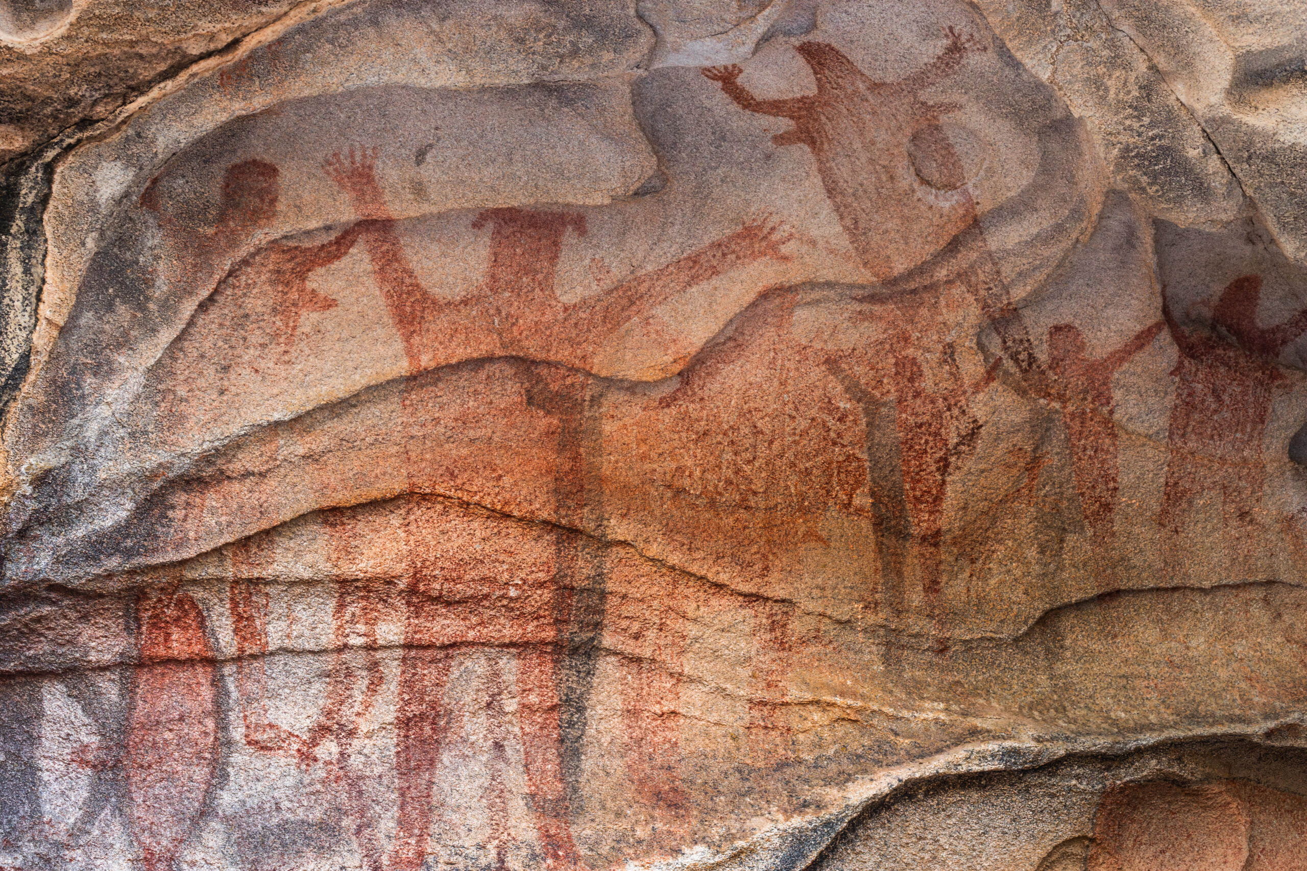
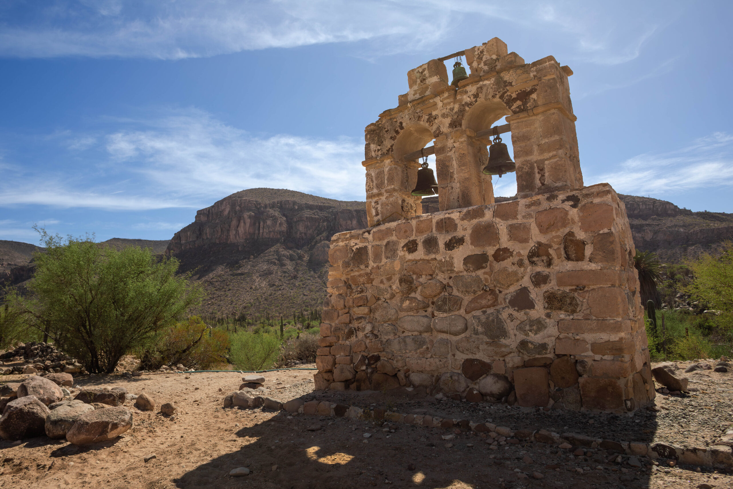
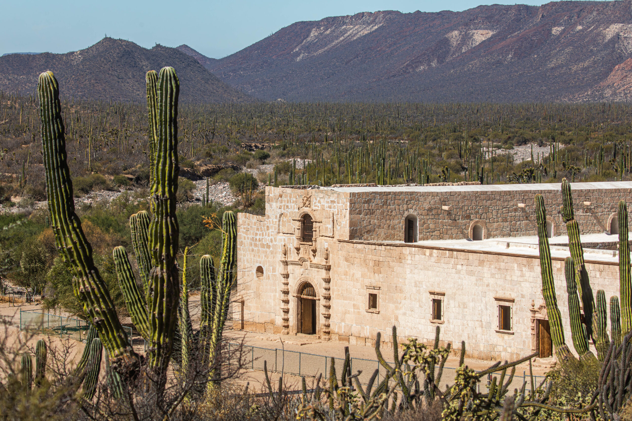
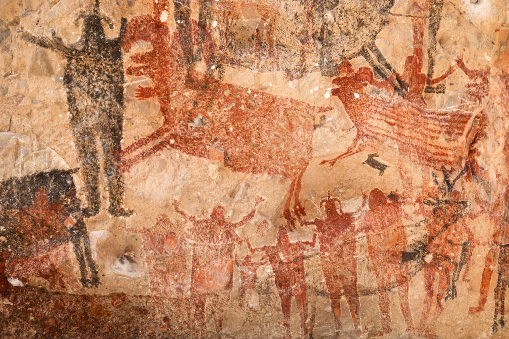
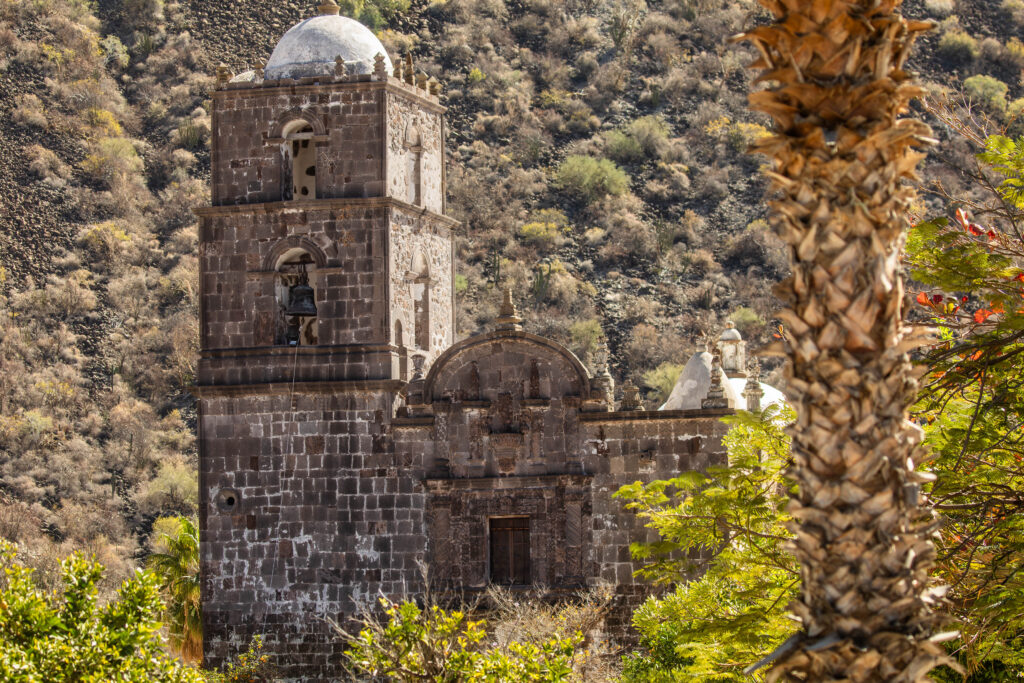
That “island” would later prove to be a vast peninsula. Through the establishment of Catholic missions, the Spanish gradually expanded their presence across the region. Here, history began.
By the mid-19th century, an expansionist United States took control of more than half of Mexico’s territory, including Alta California. Yet beyond shifting borders, this remote land remained tied together by deep and ancient roots.
In The California Blog, I will continue exploring different corners of this expansive region. It is worth noting that the term “Baja” will not be used in isolation here, as it tends to obscure the Californian identity of the Mexican portion of the territory—the very land that was originally envisioned as California.